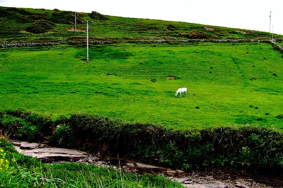
Doolin, a village in two parts
Fisherstreet, Roadford and the Aille River give Doolin its two-part shape, with the pier beyond the sea-side cluster.
North Clare, by the season
Doolin is the village by the pier, with Fisherstreet, Roadford, the river and the castle on the hill. This section follows its two parts, the pier and the sound, Doonagore Castle, the great stalactite under Doolin, the Aille River and its swallow holes, Crab Island and the winter waves.
Fisherstreet, Roadford and the Aille River give Doolin its two-part shape, with the pier beyond the sea-side cluster.
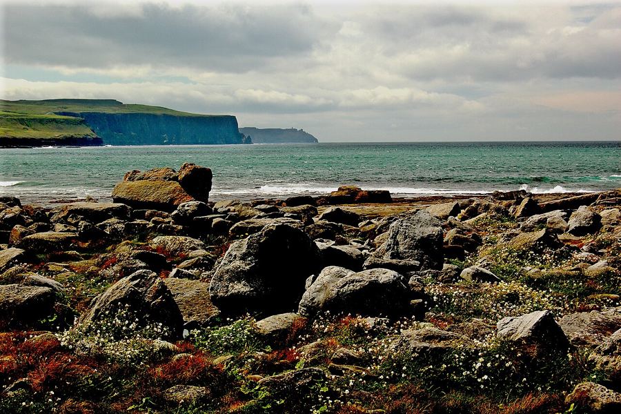
Flat limestone shelves, winter waves, island ferries and boat trips beneath the cliffs give Doolin pier its particular edge.
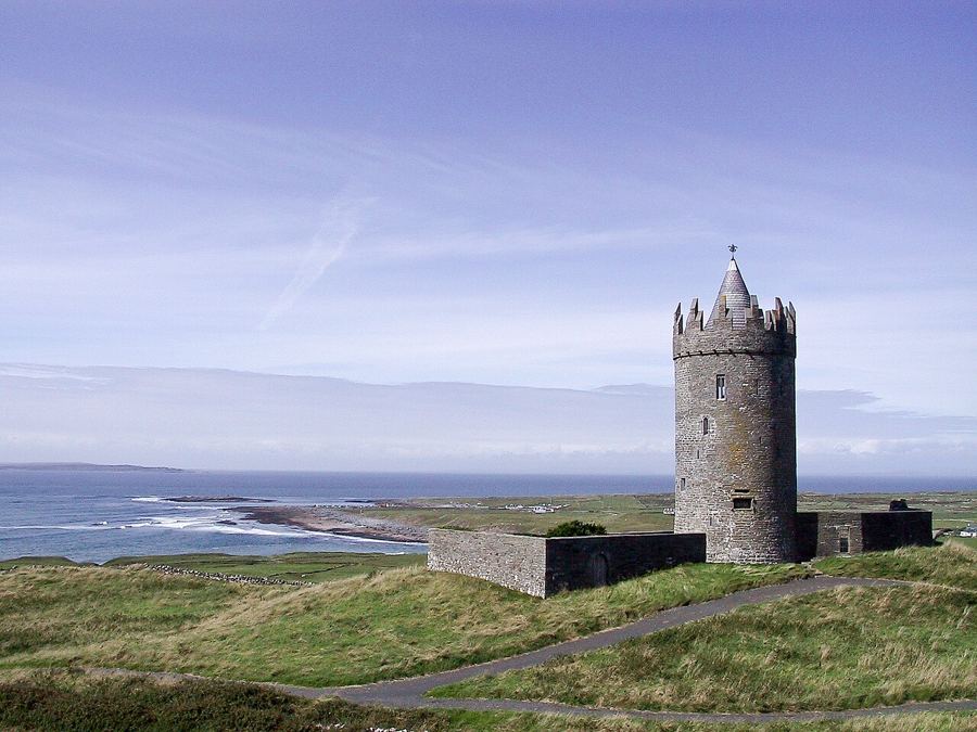
A round tower house above Doolin, with a story that runs from an earlier fort to its place as a landmark on the hill.
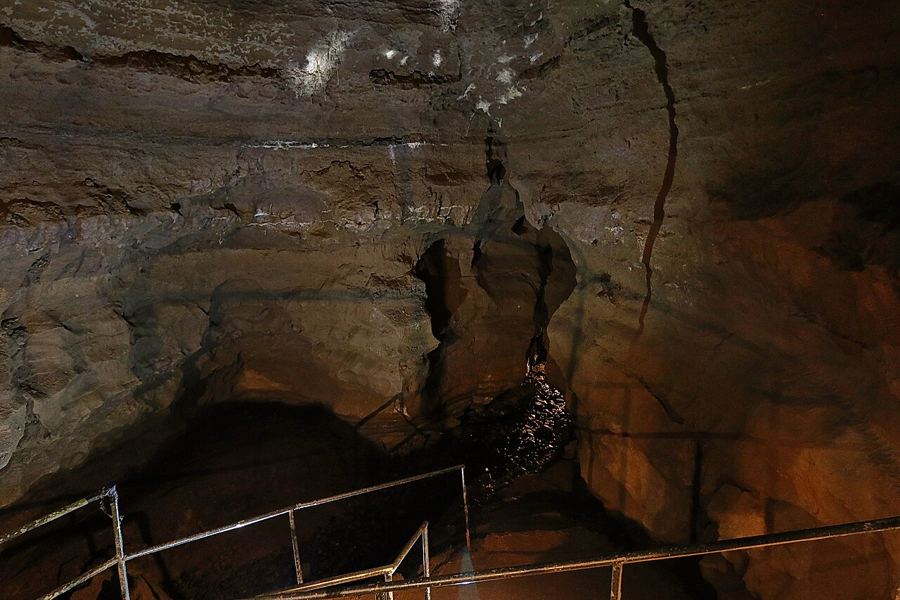
A cave near Doolin holds a long free-hanging stalactite, formed drip by drip in limestone, with a guided descent beneath the farm trail and native plants.
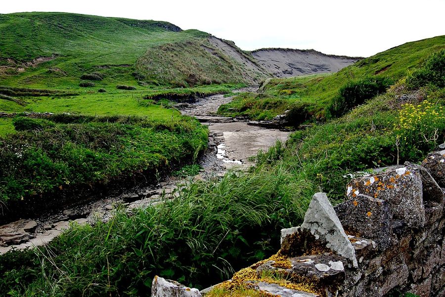
A river through Doolin, then underground: the Aille makes its way across limestone country before returning to the shore near Fisherstreet.
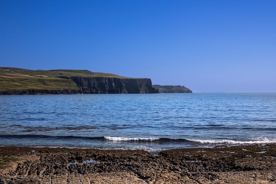
A low island, a ruined lookout tower and a powerful reef wave: Crab Island is best understood from the shore in winter storms.
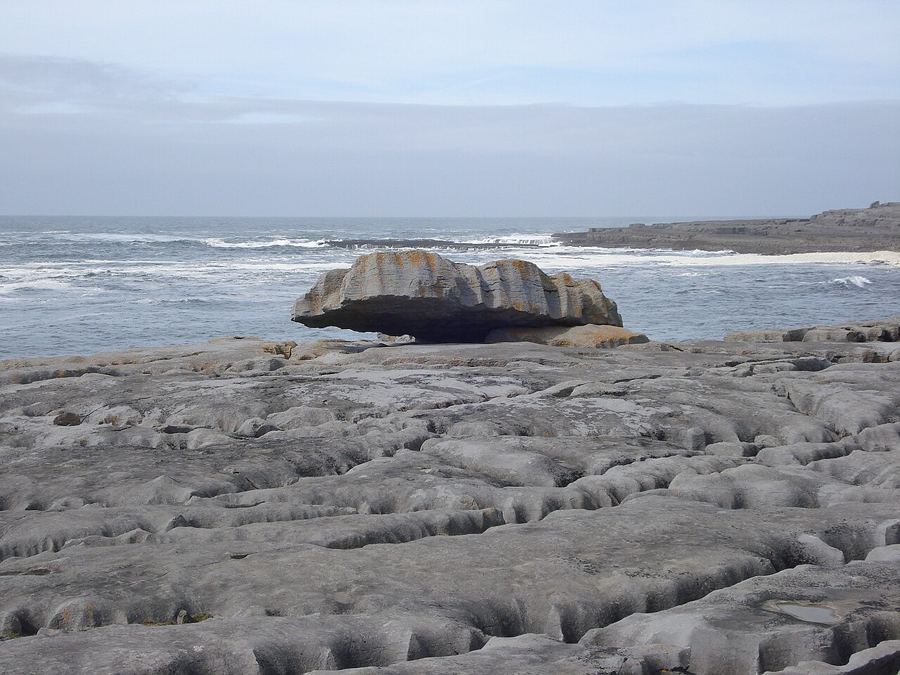
Doolin makes a common base for the cliffs, the Burren and the Aran Islands, with inland and southern towns offering another way to shape the week.