The Aille River and its swallow holes
A river through Doolin, then underground: the Aille makes its way across limestone country before returning to the shore near Fisherstreet.
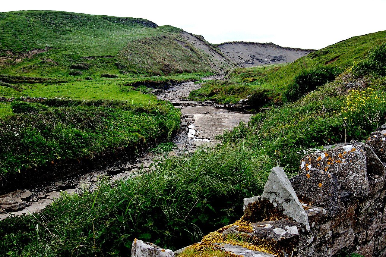
The Aille River flows through Doolin to the sea. Its course seems plain enough at first: water moving through the place, towards the shore. But upstream, in the limestone country, streams like the Aille vanish into swallow holes and continue underground. The river belongs to two kinds of landscape at once, the visible one and the one below the hills. That change of route is the story here. Not a grand mystery, just water taking a way through the rock that is easy to miss from the surface.
The swallow holes mark the point where a stream goes out of sight. There is something useful in keeping that description simple. The water does not end there; it runs underground. Beneath the hills east of Doolin, it has carved cave systems. The surface stream and the caves are not separate subjects, though only one can be seen at any moment. The limestone holds the connection. What looks like a small river making its way across the country is also part of a larger movement through rock.
That is a better way to think of the Aille than as a river with a single, obvious route. At one point it is flowing through Doolin; upstream, streams like it sink into the limestone; beneath the hills, water has carved caves. The terms are plain, but the change of level is striking. A stream can disappear from view without disappearing from the landscape. The swallow hole is not a finish line. It is a threshold between the river that can be followed on the surface and water moving out of sight.
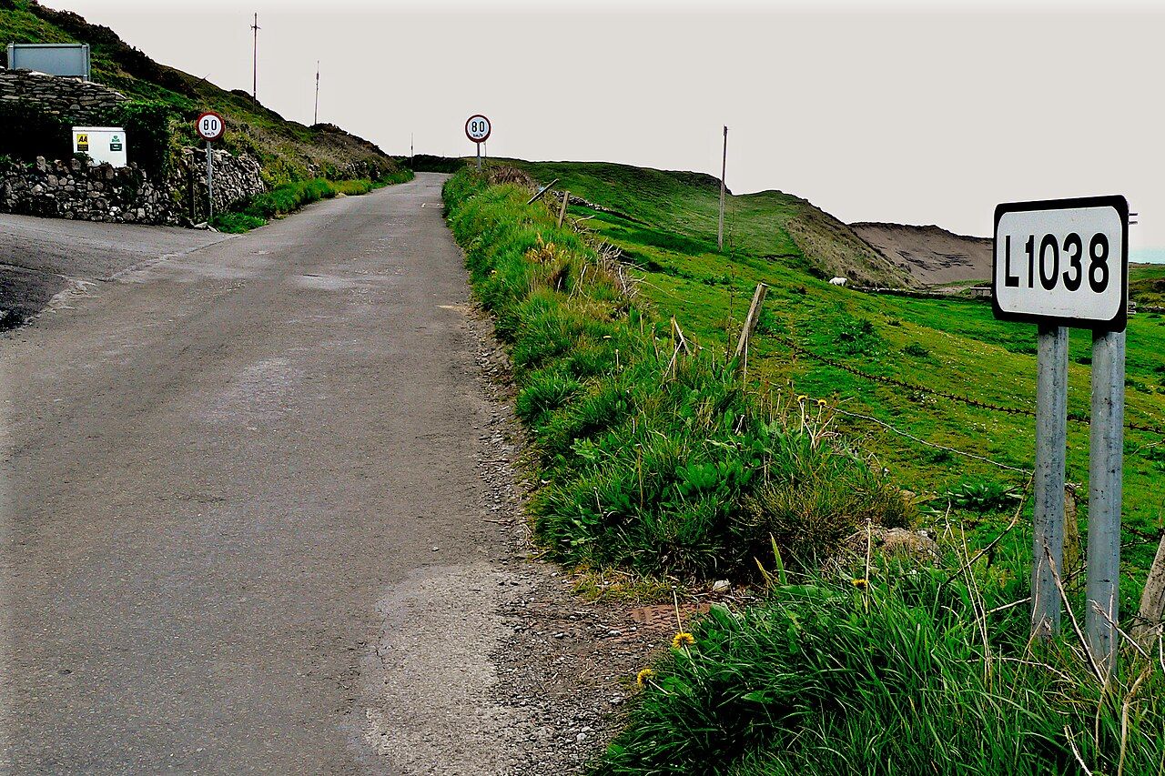
Cave divers and cavers have mapped parts of the system below Doolin. Parts, not the whole system. That distinction matters. The caves are real and known in some measure, but the mapped sections do not turn the river into a fully laid-out route. The most interesting thing is not a claim of secret passage. It is the modest fact that water has made caves beneath the hills, and that people have mapped some of them.
Rain changes the river above ground. After heavy rain the Aille rises quickly and runs brown with bog water. The change is direct, visible in the water itself. The river is no longer simply a line leading towards the sea; it has become a different presence in the landscape. Brown water and a quick rise are enough to make the point: the river responds to rain, and its surface course can alter in a short time.
The shore gives the river another visible stage. Near Fisherstreet, it crosses the limestone to the sea. That detail brings the separate parts together without pretending they are all visible at once: the river through Doolin, the limestone country upstream, the swallow holes, the caves beneath the hills, and finally the shore. Each is part of the same account. The water's route is not a straight line in the imagination, even where it can be followed towards the coast.
Even the phrase Doolin a village in two parts offers a way of thinking about how a place can be read in sections. The Aille has its own divisions: above ground and below, upstream and at the shore. The connection matters more than a neat outline. The river does not have to be made into a grand symbol. It is enough that it moves through Doolin, disappears into limestone country, and reaches the sea. The land gives it a route that is not always visible.
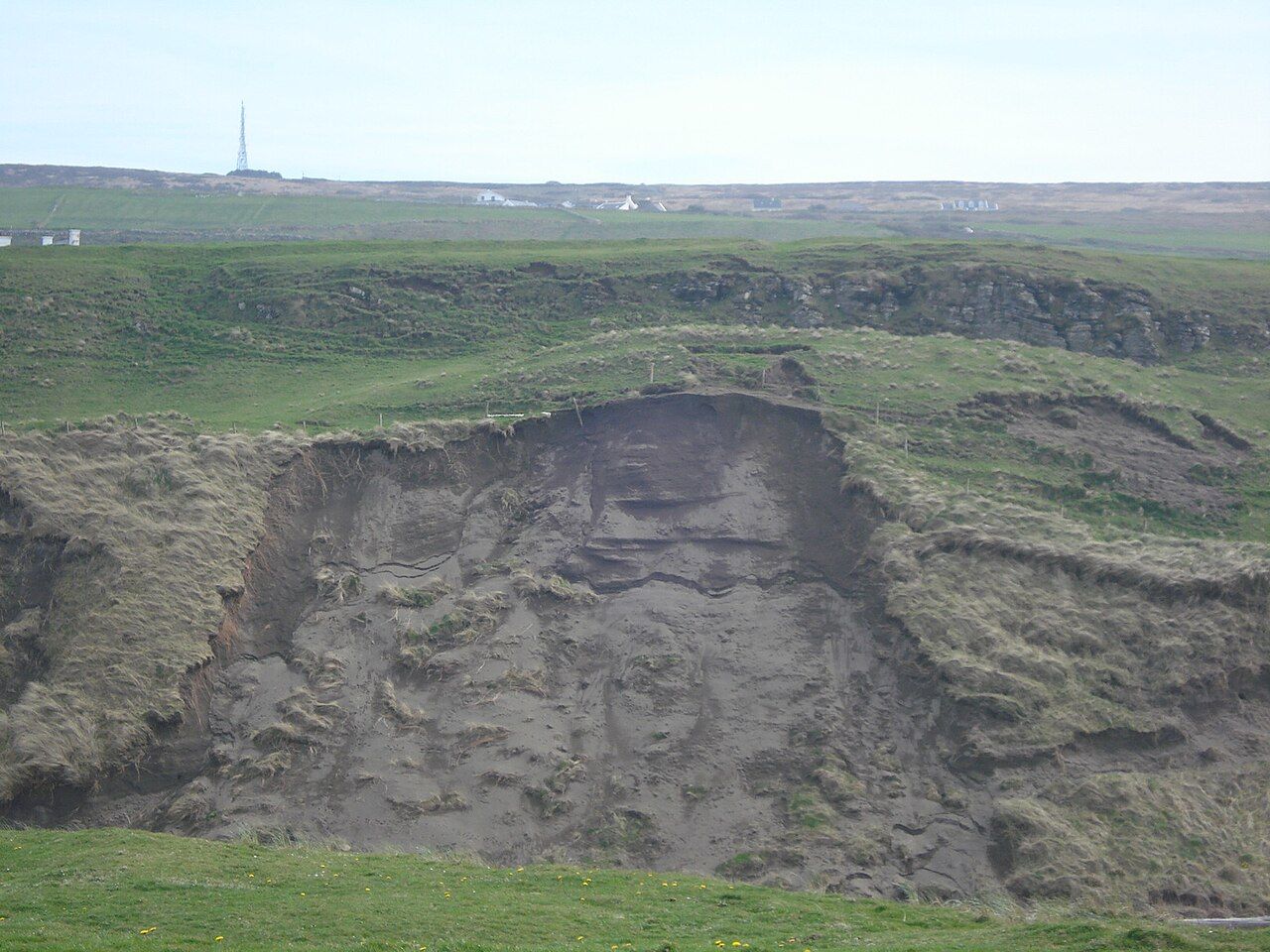
Water is also a kind of sound, though the river's account is not the same as the Kilfenora Céilí Band. The comparison only goes so far. What matters is the different attention each calls for: a river can be followed by its changing course, even where the course goes underground. The Aille is easy to overlook if the eye stops at the shore or at the surface stream. Its swallow holes make the missing part of the journey part of the place.
See also Doolin Pier and the Rough Water of the Sound.
The river's simplest lesson is also the one worth keeping. In limestone country, water can vanish from sight and continue its work below ground. After rain, it can rise quickly and run brown. At the shore near Fisherstreet, it crosses the limestone and reaches the sea. The Aille is not only the water passing through Doolin. It is also the route beneath the hills, partly mapped, and never all on view at once.
The numbers: no figures given.