Doolin, a village in two parts
Fisherstreet, Roadford and the Aille River give Doolin its two-part shape, with the pier beyond the sea-side cluster.
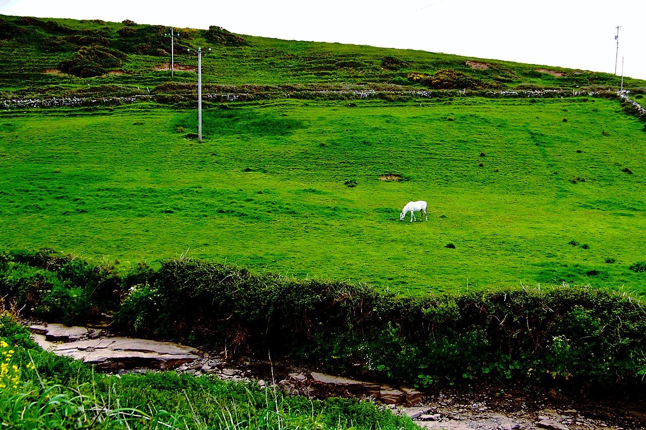
The Aille River runs through Doolin and on to the sea. Fisherstreet lies near the sea; Roadford is a little inland. Those are the village’s two main clusters, and the river is part of the layout between them. The shape is easy to describe in a line, though it is not a single centre with everything gathered round it. Doolin is spread out. Its parts need to be held together in the mind: the sea-side cluster, the inland one, and the river making its way through the village.
Fisherstreet is the place to begin if the coast is the first point of reference. The pier lies about a kilometre beyond it, at the edge of the limestone shore. That makes the pier a continuation beyond the cluster, rather than a feature to place in the middle of it. The distance is modest in number, and useful in understanding the arrangement: Fisherstreet is near the sea, but the pier is farther out, beyond the village’s sea-side part. Doolin’s shape does not end where Fisherstreet does.
Roadford gives the other half of the outline. It is a little inland, which is enough to distinguish it from Fisherstreet without pretending that the village is divided into neat halves. The clusters are not described as equal in size or as separate places. They are the two main parts of a village spread out along the coast and inland from it. That distinction matters. A visitor arriving with the idea of one compact centre may have to adjust the picture; Doolin is better understood through its parts and their relation to the river and sea.
The river helps make that relation legible. It runs through the village to the sea, joining the inland direction with the coast in the simplest possible way. It belongs to the village’s layout, passing through rather than sitting outside it. Fisherstreet and Roadford remain the useful names for the two clusters; the Aille River gives the space between those names a shape. Doolin is not just a point on the Atlantic coast, but a village with an inland reach as well.
That reach sits within a wider setting. Doolin lies between the Cliffs of Moher to the south and the Burren to the north and east. The directions matter because they place the village between two named parts of the landscape, rather than leaving it as an isolated coastal stop. The coast, the river and the clusters make up the local arrangement; the cliffs and the Burren set it within a larger one. A wider account of Doolin can follow [link:doonagore-castle|Doonagore Castle] and [link:turloughs|Turloughs the lakes that come], while this story stays with the village’s two-part shape.
Traditional music is another part of Doolin’s identity. The village is known across Ireland as a centre for it. That reputation sits alongside the geography, not in place of it: the coast does not explain the clusters, and the clusters do not explain the music. Each gives a different way of recognising the place. The simplest outline remains the most practical one for making sense of Doolin: Fisherstreet near the sea, Roadford a little inland, the river running through, and the pier beyond Fisherstreet at the limestone shore.
See also A week based in Doolin.
There is a temptation to make a village into a single dot, because a dot is easy to remember. Doolin resists that small simplification. Its two clusters ask for a little more attention, and the Aille River makes the connection between village and sea part of the picture. The pier adds a further point beyond Fisherstreet, while the Cliffs of Moher and the Burren give the wider setting its compass. None of this requires a complicated map. It just means that Doolin makes more sense as a sequence of places than as one centre.
For visitors, that is the useful distinction. Fisherstreet is the sea-side cluster; Roadford is inland; the river runs through to the sea; the pier lies about a kilometre beyond Fisherstreet. The descriptions are brief, but together they keep the village from being flattened into one vague coastal address. Doolin belongs to the Atlantic coast of north-west County Clare, and its layout gives that location a particular form: not a single gathering point, but two main clusters linked in the same village and set between coast, cliffs and Burren.
A village with two parts is not especially difficult to remember. The Aille River can take credit for keeping the explanation from becoming a list of directions. Doolin has managed to give the map a plot, and it only takes one river to keep it moving.
The numbers: the pier lies about a kilometre beyond Fisherstreet.