Three Islands at the Mouth of Galway Bay
Their size and distance from Doolin set Inis Mór, Inis Meáin and Inis Oírr apart; limestone, dry-stone walls and Irish hold them together.
What can set three islands apart when they share the same bay and the same limestone? The answer begins with scale and distance, then moves through fields, language and the routes across the water. Inis Mór, Inis Meáin and Inis Oírr are not interchangeable names on a map. Their differences are clear, even where the facts they share are the strongest part of the story.
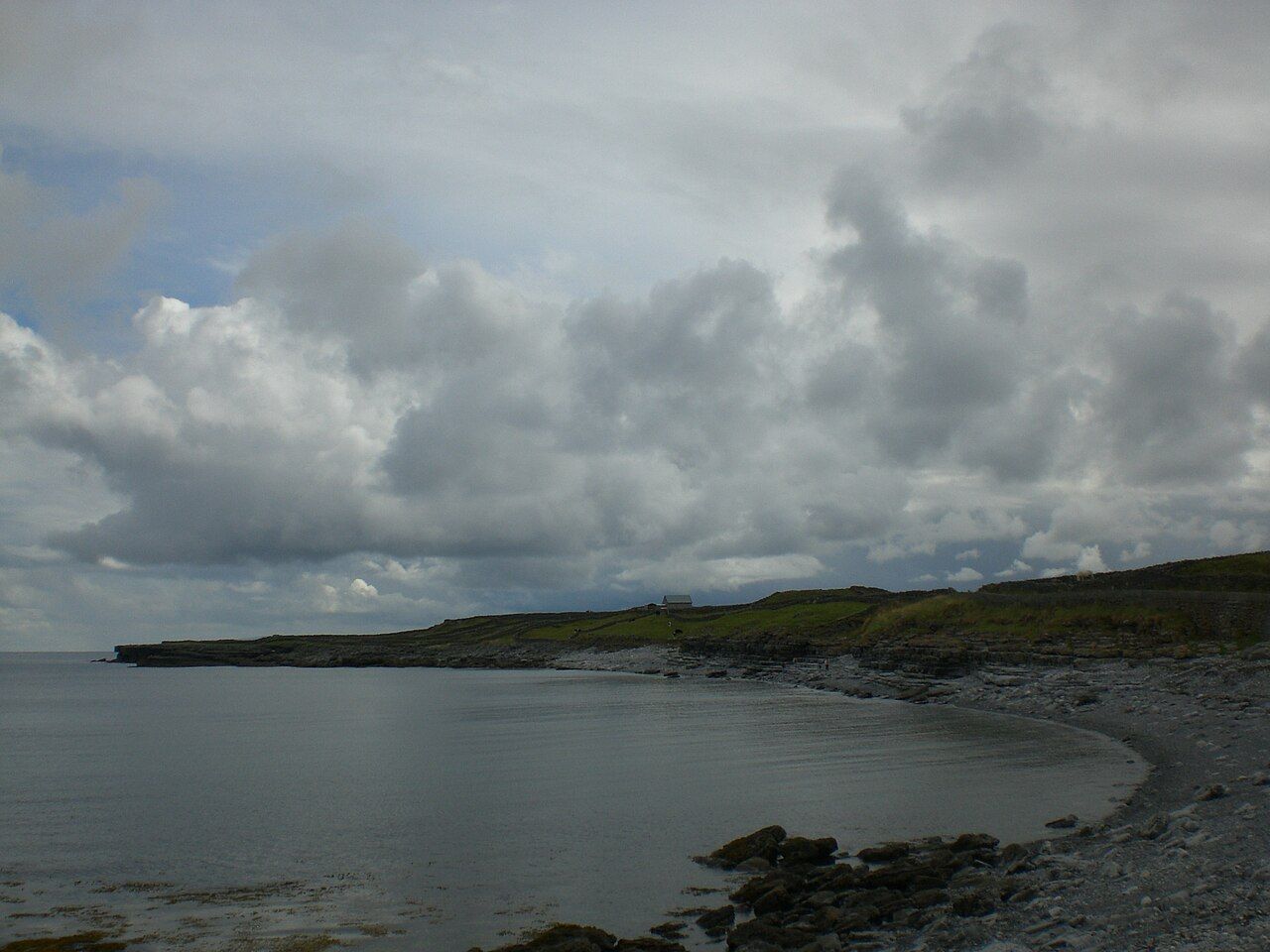
The Aran Islands lie at the mouth of Galway Bay. Their order in a list does not make a ranking. Inis Mór is the largest, Inis Oírr is the smallest, and Inis Meáin completes the three. That is a useful distinction to begin with: one island takes the largest place, another the smallest, while the group itself remains the point.
Distance gives Inis Oírr another clear distinction. It is the smallest island and the closest to Doolin. For a visitor starting from Doolin, those two facts sit neatly together, though they are not the same thing. Size describes the island; closeness describes its position. Inis Mór has the opposite claim on size, and Inis Meáin keeps the three names from becoming a simple pair.
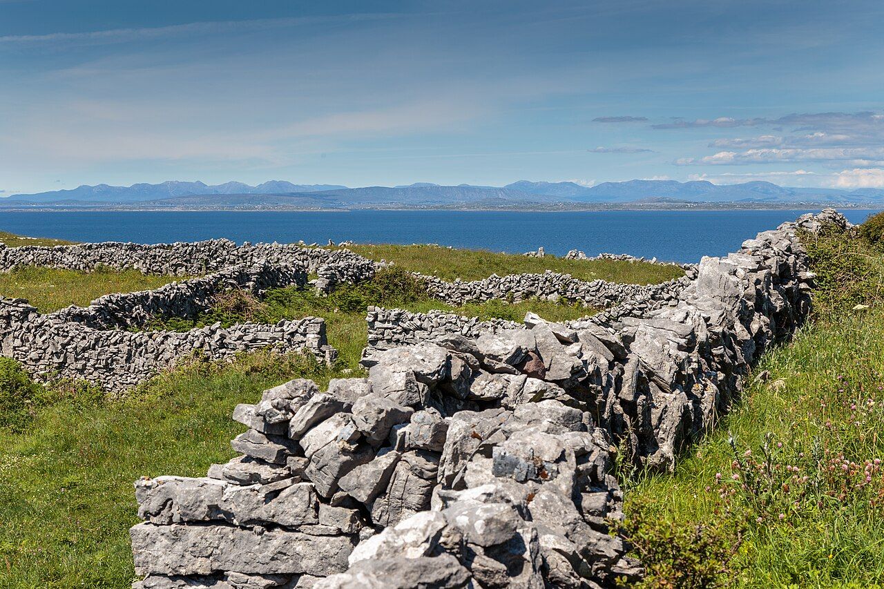
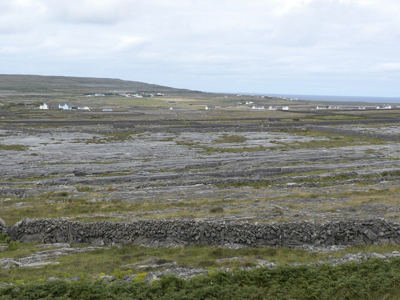
Geologically, the islands are a continuation of the Burren. That connection makes the map feel less like a division between coast and island, and more like one landscape carrying on across the water. The wider Burren story includes Turloughs the lakes that come and go; the islands themselves continue the Burren in limestone.
A net of dry-stone walls covers the islands, dividing small fields. It is a practical pattern repeated across all three, rather than a detail belonging to only one. The walls give the islands a shared shape without making them identical. Small fields, stone boundaries, and the larger limestone ground: the distinction here is not between islands, but between the field and the open network around it.
Irish is the everyday language of the islands, which are part of the Gaeltacht. That is not a decorative detail to add after the geography. It belongs to the ordinary life of the place. Each island has its own name, but the shared language is a reminder that the three are also a connected group, not just separate points reached by water.
Ferries reach the islands from Doolin and from Ros a' Mhíl in Connemara. Small planes also fly from Connemara. The routes make the mainland connections plain: Doolin is part of the picture, and so is Connemara. The islands are distinct in size and position, but neither distinction changes the simple fact that all three belong to this same crossing between land and bay.
- Inis Mór has the largest-island distinction; Inis Oírr is smallest and closest to Doolin; Inis Meáin stands with them in the shared story of limestone, fields and Irish. The little differences are enough. A visitor can keep all three names straight without making the islands compete for a single title.
See also Dún Aonghasa at the cliff edge.
The numbers: three islands; ferries from Doolin and Ros a' Mhíl; small planes from Connemara. Even the arithmetic refuses to merge them.