Dún Aonghasa at the cliff edge
On Inis Mór, three rings of dry-stone walls lead to a sheer drop above the sea. Dún Aonghasa’s design makes its position part of the story.
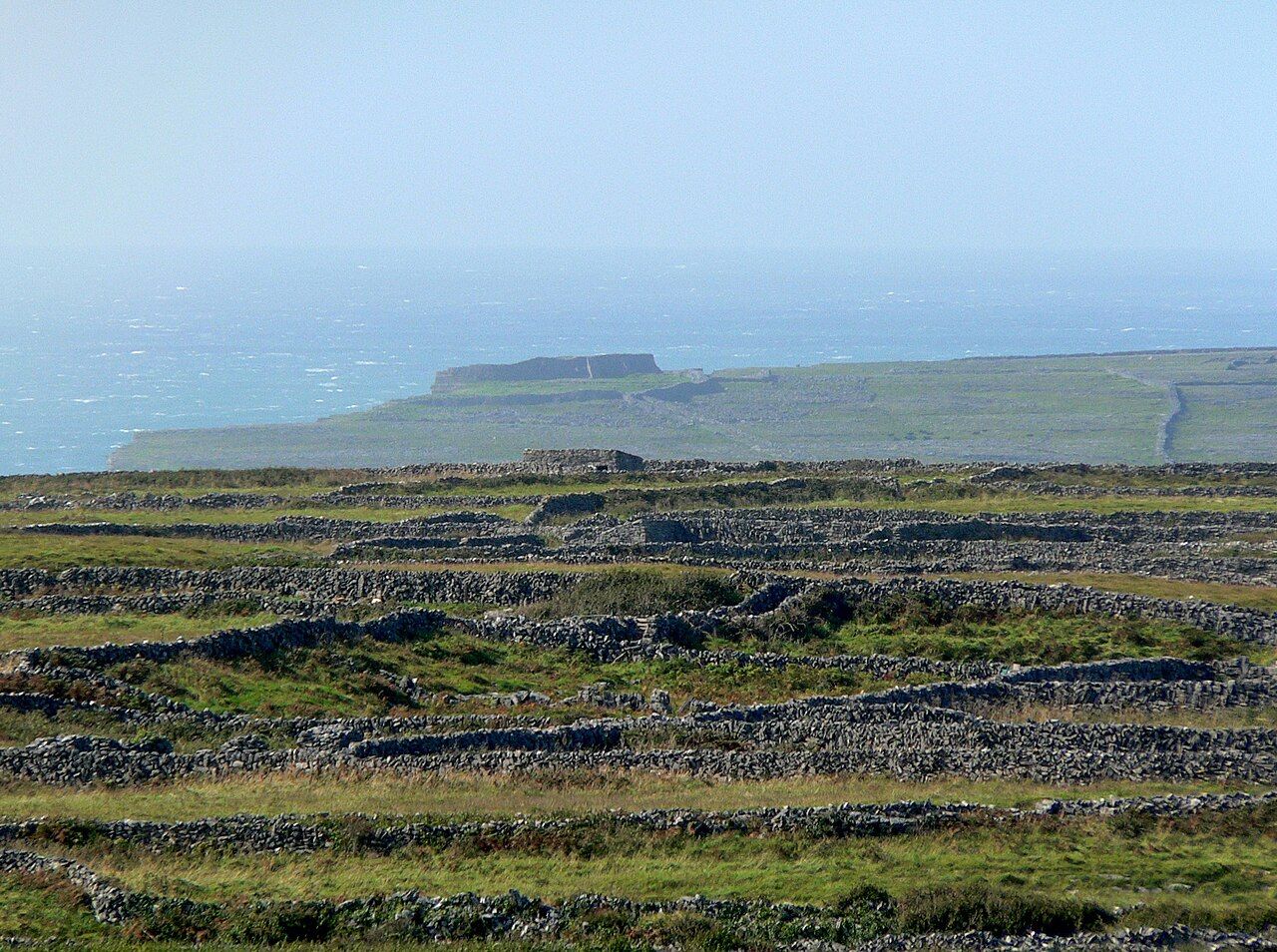
What does a stone fort become when its innermost wall ends at a sheer drop to the sea? At Dún Aonghasa, on Inis Mór, the question is built into the place. This prehistoric fort has three rings of dry-stone walls, and the inner ring stops at an edge about 100 metres above the water. The arrangement is plain enough to understand, but not small in its effect. Stone, cliff and sea share the work of defining the fort. Its position is not an afterthought to the walls; it is where they end.
The walk uphill from Kilmurvey village is the approach to that arrangement. The fort does not arrive all at once in a single view of stone. Its form is made legible by the rings: one within another, with the inner one meeting the cliff edge. That is a simple pattern to hold in mind, and a useful one. Dún Aonghasa is not merely a wall placed near a dramatic boundary. The wall itself runs towards that boundary, then stops. The ending is the detail that stays.
Three rings of dry-stone walls sound like a plan that can be counted and completed. Yet at the innermost ring, counting gives way to the edge. The sheer drop of about 100 metres is not another section of masonry, nor a gate or passage. It is a different kind of boundary altogether. The sea lies below. The fort’s form is therefore both made and unmade by its setting: the walls establish a line, while the cliff supplies the final limit. That contrast keeps the eye moving from laid stone to open space.
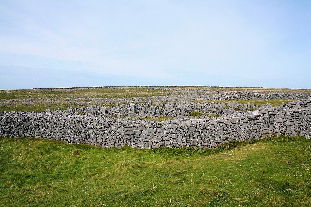
The inner ring ends not at another wall, but at the sea-facing edge of a sheer drop.
The inner ring ends not at another wall, but at the sea-facing edge of a sheer drop.
Outside the walls is a band of upright stones, a chevaux de frise, intended to slow attackers. It gives the fort another kind of boundary, made not from a continuous wall but from separate stones standing in a line. The difference matters. The rings make a clear sequence; the upright stones make the approach less direct. A fort with walls, a barrier outside them and a cliff at the inner edge has already made its point.
The first walls may date from the Bronze Age, around 1100 BC. That date is a possibility, not a firm answer, and the careful phrasing belongs with the place. The walls are old; the exact beginning remains uncertain. A single date can make history look neatly settled, when the fact here is more measured. The fort can be approached as stone work with a long past, without pretending that every part of that past is known. The possibility of Bronze Age walls gives the site depth, while leaving room for what cannot be stated with certainty.
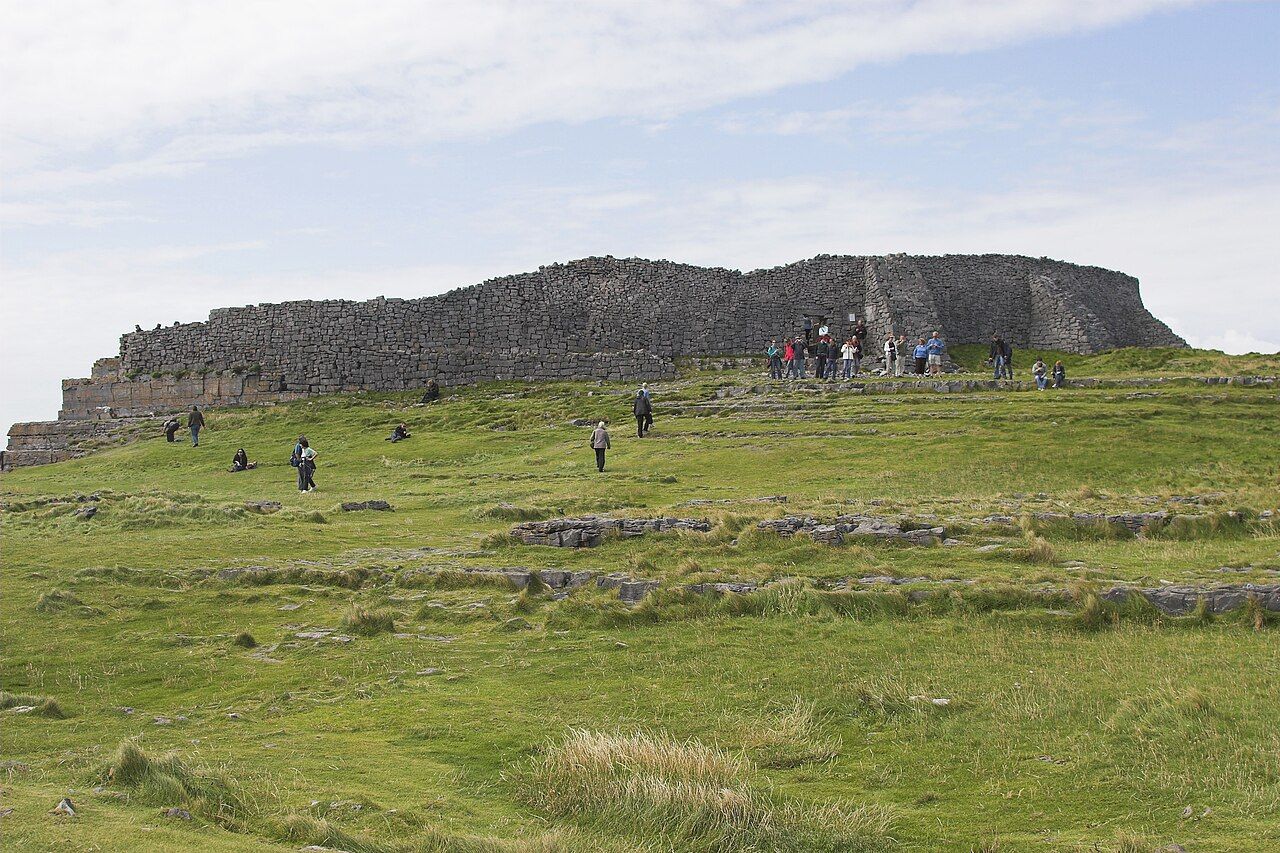
There is a temptation to let the cliff do all the talking. It is a powerful feature, and the sheer drop is an exact fact rather than a vague impression. But the walls deserve attention on their own terms. Three rings, dry-stone construction, and upright stones outside: a designed sequence, not simply a viewpoint at the edge. The place asks for attention to both the large shape and its parts. First the rings, then the separate barrier, then the point where the inner wall runs out above the sea.
Dún Aonghasa is in state care. That fact sits quietly beside the more visible ones: the uphill walk from Kilmurvey village, the three rings and the cliff edge. The fort is not hard to describe, though its arrangement gives the description room to unfold. A prehistoric stone fort on Inis Mór; walls that circle inward; upright stones outside; an inner ring ending above the sea. The simplest account is also the one that leaves the least out. The place holds its shape in the mind, with the cliff as its final line. These details belong together: the uphill walk, the layered walls, the outer stones and the abrupt end above the water.
See also A day on Inis Oírr: the castle, the wreck and the sand.
The numbers: three rings; about 100 metres; around 1100 BC.