The cliffs, rock by rock
A plain account of height, length, layered rock and the birds that use the ledges in spring and early summer.
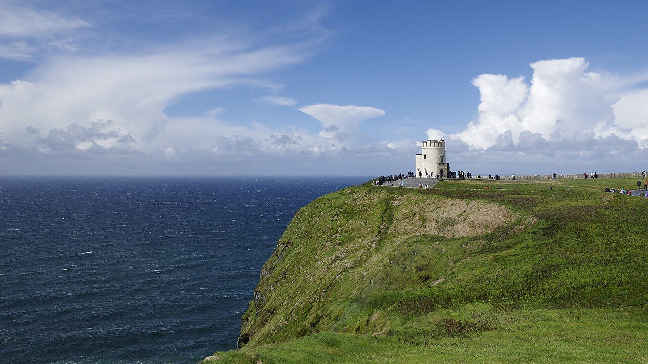
The Cliffs of Moher rise above the Atlantic coast of County Clare as a long edge of land, with the sea below and layers of rock underfoot. The figures are large, but the place is easier to understand rock by rock: first its reach, then its height, then the material and the life on its ledges.
The coast runs for about 14 kilometres. That length matters as much as the highest point. This is not a single upright wall to be measured and put aside; it is a line along the Atlantic, with the cliffs continuing across the coast. The scale comes through in the stretch as well as in the drop.
At the highest point, the cliffs rise to 214 metres, north of O’Brien’s Tower. The number gives a precise answer to a simple question, but it does not make the height feel small. The ground rises, the sea lies below, and the cliff face holds its own straight, clear line between them.
The rock is made of layers of shale and sandstone. Those are plain names for materials, but together they make the cliffs legible: one layer set above another, the long record of a landscape visible in the face. The rock is not a backdrop; it is the whole argument.
Those layers were laid down about 320 million years ago in a river delta. The river delta is a useful part of the story, not an extra flourish. The cliffs were not always a coastal edge. Their rock began in a different setting, then remained as the land and sea took their present relationship.
The cliffs are part of the Burren and Cliffs of Moher UNESCO Global Geopark. That name ties the rock here to the wider Burren, rather than making the cliffs a separate geological curiosity. The scale is local and broad at once: a distinct stretch of coast within a larger landscape.
In spring and early summer, thousands of seabirds nest on the ledges. Puffins, razorbills and guillemots are among them. The birds make the cliff face more than a record of old stone; it is also a place being used now. [link:puffins-and-goat-island|Puffins on the sea stacks] has a separate bird-shaped frame for the same coast.
A visitor centre is built into the hillside at the main viewing area. Its position keeps the attention on the shape of the place: hillside, rock face, sea. The linked account of [link:doonagore-castle|Doonagore Castle on the hill] turns to another landmark in the landscape, while the cliffs remain the subject here.
The rock is not a backdrop; it is the whole argument.
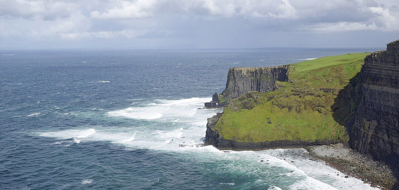
See also Fanore Beach and Black Head, by the Burren Road.
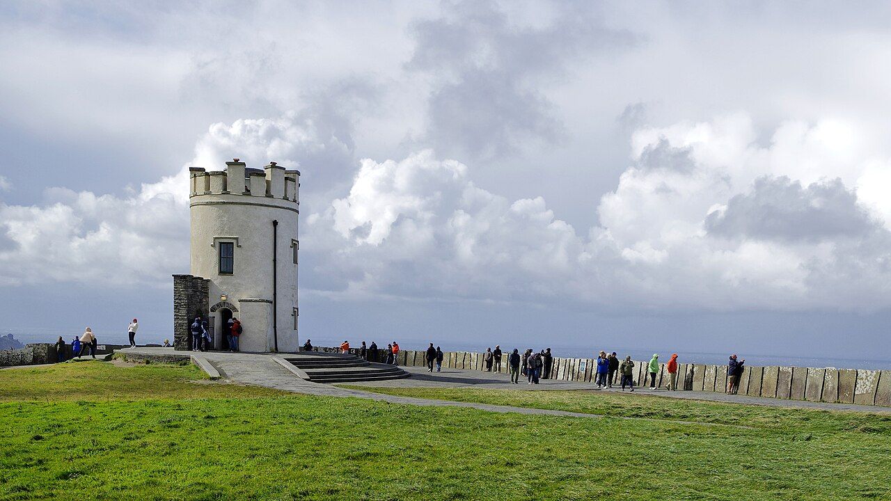
The simplest way to read the cliffs is to keep the facts together: their Atlantic reach, their height, the layered shale and sandstone, and the birds on the ledges. There is enough in that list without adding a grander claim. The rock has already done the long work, and the birds have found room in it.
The numbers: about 14 kilometres along the coast, 214 metres at the highest point, about 320 million years in the layers. The rock has had plenty of time to practise its arithmetic.