Doolin to Hag’s Head on the cliff path
The walk leaves Doolin across farmland on the cliff edge, then turns attention to the exposed path, the weather and the ruined tower at Hag’s Head.
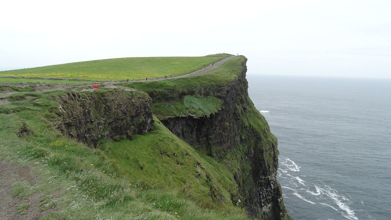
What changes when a road gives way to a path along the cliff edge? On the northern section of the Cliffs of Moher Coastal Walk, the answer begins outside Doolin, where the route crosses farmland close to the sea. The walk runs along the cliff top from Doolin to Liscannor, about 20 kilometres in all. That is the full line of the walk; Hag’s Head belongs to the southern end of the cliffs, and gives this account a point to travel towards without turning the route into a shorter measurement.
The northern section starts on the road from Doolin. Then farmland, cliff edge. It is a plain description, but the change in ground is the story: fields and a path share space with a drop that is not fenced everywhere. In places the edges are unfenced, and the path runs close to them. The coast is not a distant backdrop here. It sits beside the route, part of the ground’s character and part of the attention a walk needs.
That closeness makes the walk more than a line to follow. A cliff edge changes the pace of looking. The land has to be read as ground underfoot, not only as a view, and the next stretch of path matters as much as the broad sweep of the coast. A slow look at the Cliffs of Moher rock by rock suits this kind of place better than a hurried glance. Its simple terms are enough: farmland, cliff top, open edges, and the sea beside them.
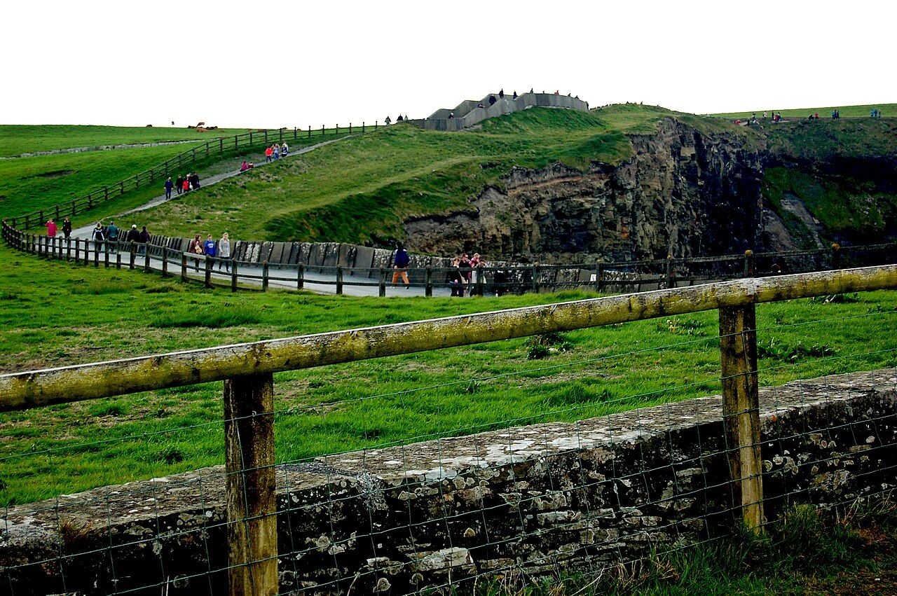
The ground has its own say. After rain, the path is muddy. That small fact belongs in the account as firmly as the cliff edge does. Mud is not a dramatic event, but it changes the texture of a walk: the track asks for attention, and a clean, effortless passage cannot be assumed. The coastal line remains the same in outline, but the surface is not an abstraction. There is the route, and there is the ground encountered on it. A practical description is often more useful than praise.
Strong winds are common on the cliff top. A walk across exposed ground is shaped by that fact even before the wind arrives; it is part of how the place is understood. The route cannot be reduced to a view from a safe distance, nor to a neat distance between two names. It is a walk along a cliff, with farmland behind the edge and the coast beside it. The best account keeps these things together, rather than turning the path into a sequence of scenic moments. The cliff edge is not a decorative detail; it is the plain condition of this walk.
The cliff edge is not a decorative detail; it is the plain condition of this walk.
Hag’s Head gives the southern end of the cliffs a particular shape. A ruined signal tower stands there, and the rock formation is said to look like a woman’s head looking out to sea. The description is direct enough to linger over. A place-name, a tower in ruins, a rock given a human outline: none of these needs extra invention. The head looking out to sea makes a fitting image for a coast where the edge is always close, but the walk itself remains practical ground beneath a walker’s feet.
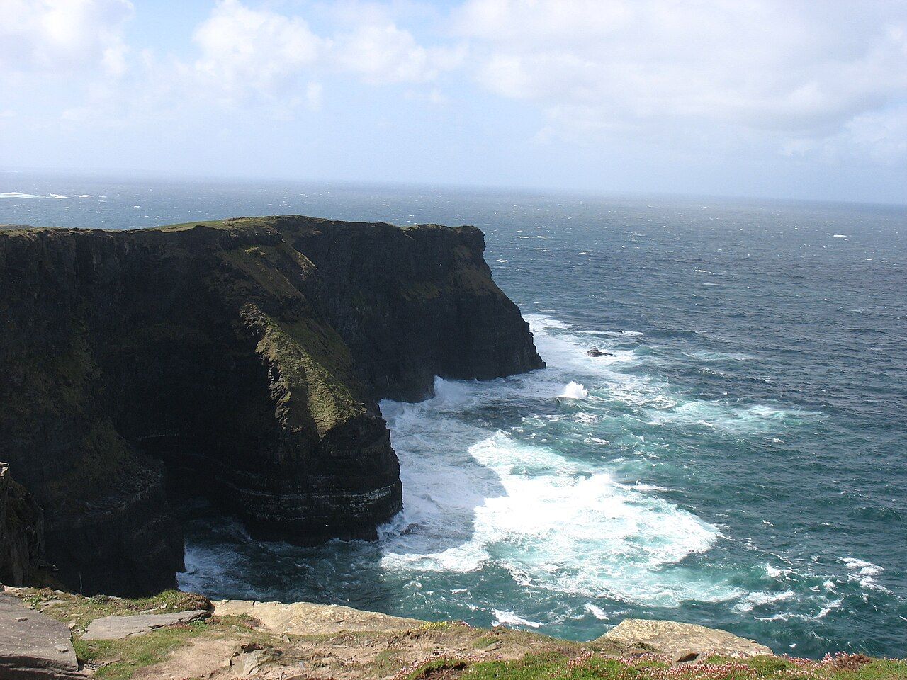
The mind can wander beyond the route’s immediate terms. The name Inis Meáin may enter that wider thought, before attention returns to the path and its unsettled surface. This is not a walk that benefits from having every part translated into a grand conclusion. Its particulars are more persuasive. The northern start on the road from Doolin; the farmland crossed on the cliff edge; the muddy path after rain; the wind on the top; the tower at Hag’s Head. A small set of facts, but a clear sense of the place.
See also Fanore Beach and Black Head, by the Burren Road.
For all its length, the coastal walk is not just a measurement. About 20 kilometres from Doolin to Liscannor describes the route, while Hag’s Head holds the southern end of the cliffs and the ruined tower. Between those names, the walk keeps close to the edge. That is the detail worth carrying away: not a promise of ease, and not a warning dressed up as drama, but the straightforward character of a path where wind, mud and open ground belong to the experience.
The numbers: about 20 kilometres from Doolin to Liscannor.