The Caher Valley Walk
The Caher is the Burren uplands’ only surface river, running over glacial clay through a valley of hazel, ferns, mosses and liverworts.
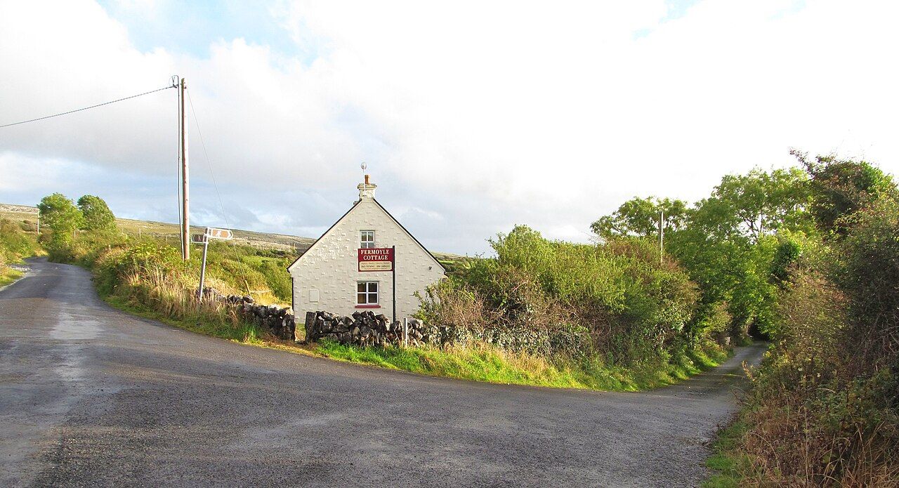
What makes a river keep to the surface in the Burren uplands? The Caher River has a plain answer beneath its water: a layer of clay left by glaciers. The clay stops the river sinking into the limestone. So the Caher rises on the hills, runs north-west, and reaches the sea at Fanore. It is the only river that flows on the surface across the Burren uplands. A simple distinction, but one that gives the valley its shape and the walk its particular interest.
The explanation is easy to carry along the route. Limestone below; clay above; river on the surface. The water follows the layer that keeps it from disappearing into the rock, cutting a valley through the uplands as it goes. The route follows that valley above Fanore. Its line is not a puzzle to solve, but an invitation to notice what holds the river here, and what lies beside it.
Hazel woods and ferns fill the valley. Stones beside the river are covered with mosses and liverworts. Those details make a welcome change from treating a walk as a distance to be covered. The Caher is not only a course on a map, nor only the answer to a question about clay and limestone. The valley gives the river company: plants among the trees, small growths close to the stones, and the moving water between them. It is a good place to let the eye slow down.
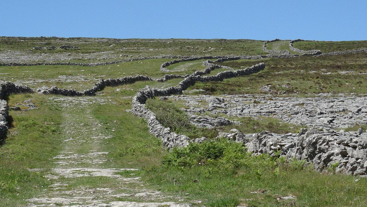
There is a fondness for a landscape framed by a bus window, where hills pass as a quiet sequence. The Caher valley asks for a different pace. A walking route follows it above Fanore, and the river’s course gives the mind something steady to follow: from the hills, north-west, towards the sea. The ground’s explanation stays present without needing to become a lesson. The clay is doing its work; the limestone is beneath it; the river is here because the water has a surface to follow.
The phrase Not enough water to drown a man catches the plain, unsentimental mood of the place. Its distinction is already clear: across the Burren uplands, this is the only river flowing on the surface. The valley makes that fact visible in a way a bare statement cannot. Water held above limestone, moving through a landscape of hazel, ferns, mosses and liverworts. That is enough to keep the walk from becoming just another line between two points.
See also Doolin out of season: storms, sessions and quiet.
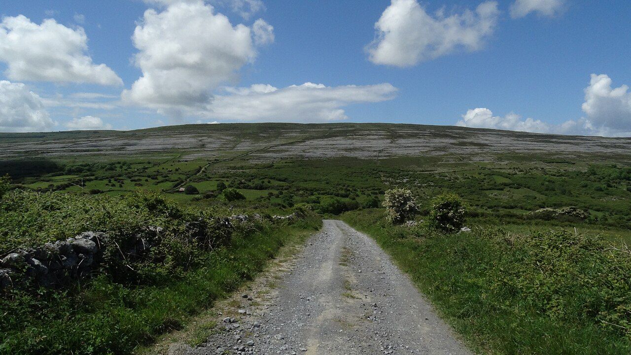
The route above Fanore is best understood as a walk through the valley, rather than a hunt for some single feature at the end. The river has a direction, but the interest is spread along its course: the hills where it rises, the clay that lets it remain above ground, the stones beside it, and the plants covering those stones. Nothing in that list needs an invented flourish. The valley already has its own structure, and the walk gives time to take it in.
There is also pleasure in the fact that the explanation and the scenery are tied together. The river’s surface flow is not a trick of appearance; the clay layer left by glaciers stops the water sinking into the limestone. The Caher runs over that layer and through a valley that holds hazel woods and ferns. Each part belongs to the same account. The river is not separate from the ground it crosses, and the walk is not separate from the river’s reason for being there.
At Fanore, the Caher runs to the sea. The route above follows the valley back into the story of its water, towards the hills and the clay beneath its course. A short list of facts becomes a satisfying way to read the place: a river, a layer of clay, limestone, a valley, and the plants gathered beside the stones. The favourite part is the directness. The part to skip is any urge to make the river more mysterious than it is. The Caher has given the answer already, and the valley is the walk.
The numbers: none given. The river has not kept accounts.