The green roads of the Burren
Old unpaved tracks between stone walls carry the Burren’s history of farm movement and relief work into the walking routes of today.
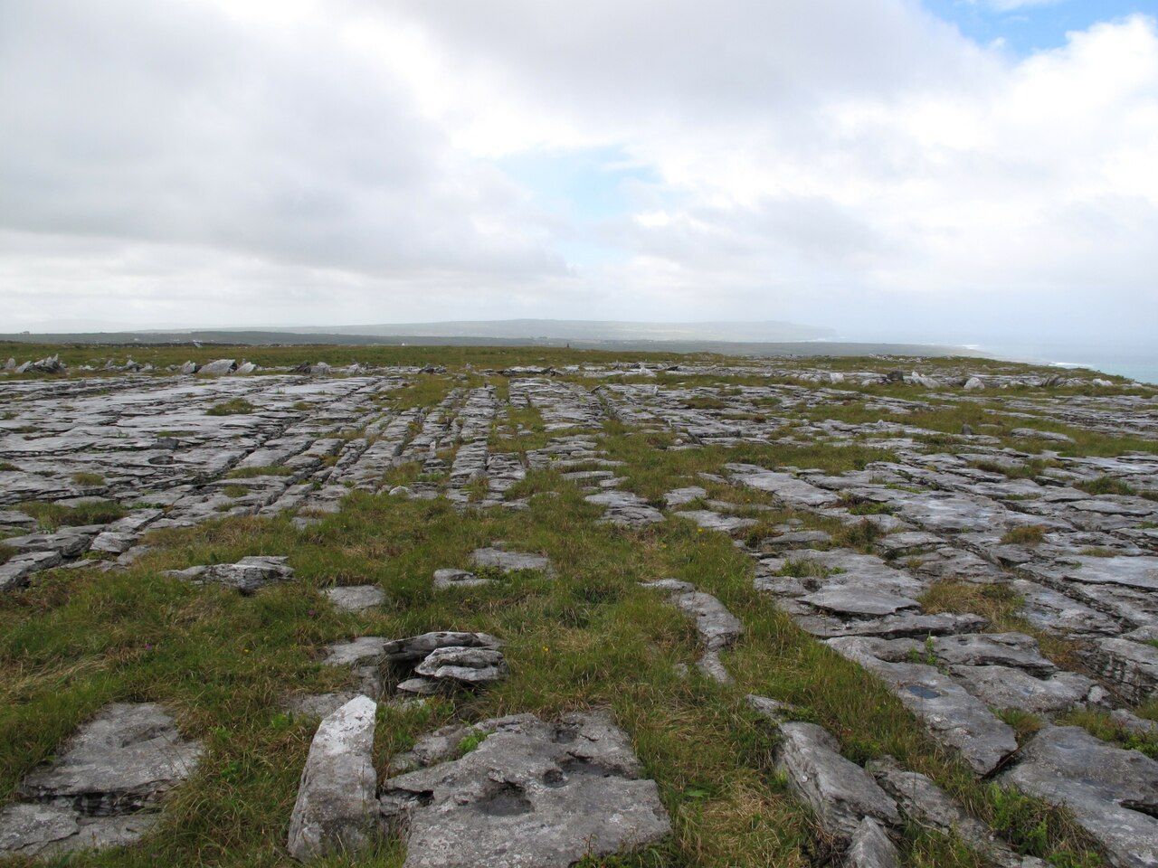
What makes a road green? In the Burren, the name belongs to old unpaved tracks between stone walls, not to a promise about where they lead. Their interest lies in the work they have carried, and in the fact that a route made for movement across the uplands can still be followed on foot. The walls give these roads a clear shape. The stone country gives them their wider setting. The track itself is plain in construction: a line across upland ground, held between walls. That simple arrangement matters. It makes the route visible as a road and as a boundary-shaped passage through the stone, rather than as a path laid out apart from the land. Even before its history is considered, the walls make its old purpose easy to picture.
Many of the tracks were built in the nineteenth century. Some were Famine relief works. That history is present without needing to be made grand: these are roads with a practical purpose, laid across a landscape where moving between farms and the uplands mattered. Their construction belongs to a time of hardship, though the tracks themselves do not tell every detail of that history. What remains plain is their form: unpaved ways, running between stone walls.
They were used for moving cattle between farms and to the uplands. The green roads were part of ordinary work, joining places that had to be reached and giving cattle a route through the Burren. The fact of their use is enough. A road can hold that history in its shape, even when its purpose has changed.
The useful distinction is that these roads are not only traces of older movement; they are walking routes now.
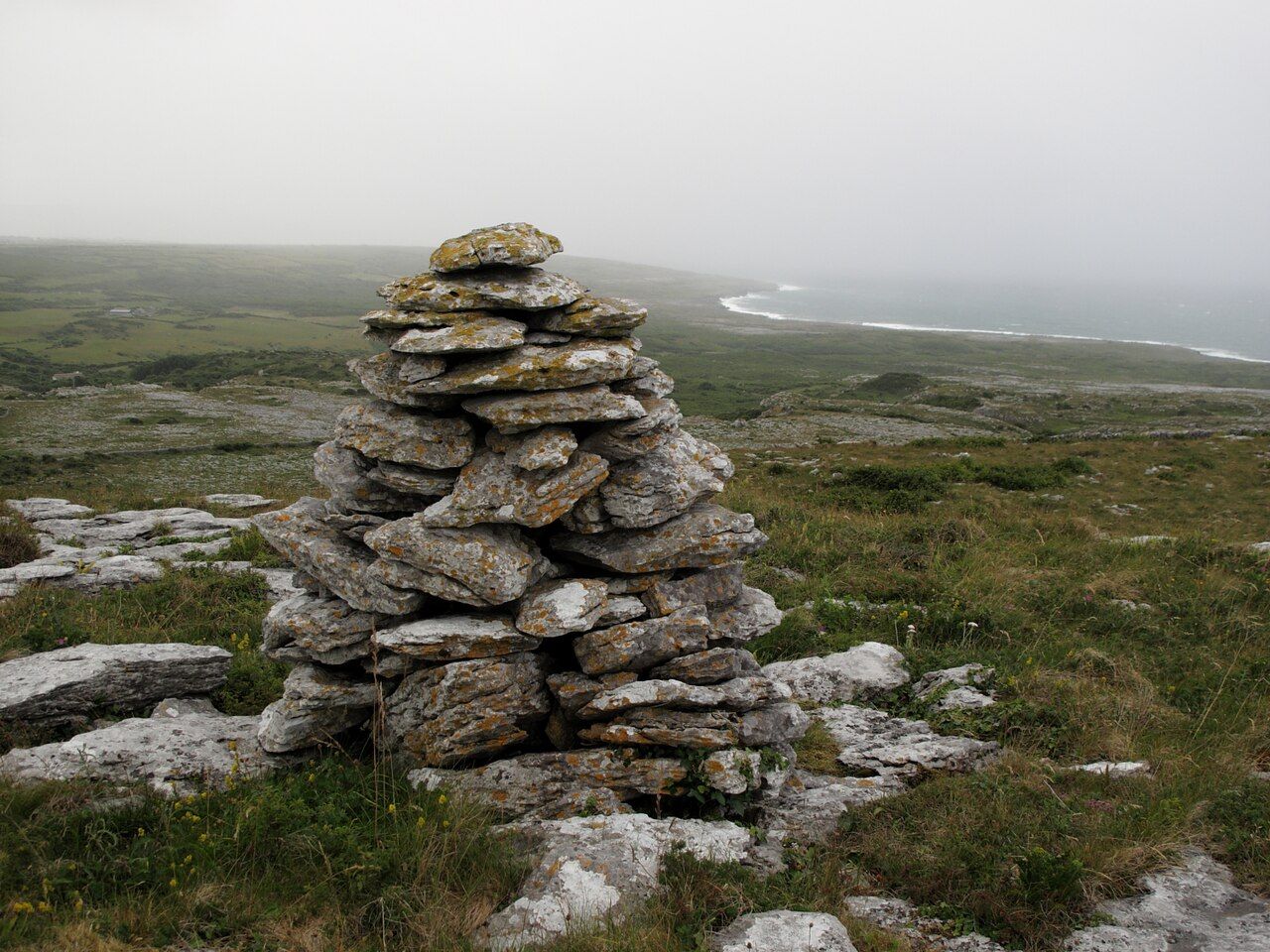
The useful distinction is that these roads are not only traces of older movement; they are walking routes now.
They now make walking routes with wide views over the stone. That change in use does not erase the older one. It gives the tracks a second life, without turning them into something other than what they are: old unpaved roads, set between walls. Walking them brings the route and the wider Burren into the same frame. The wall-bound track is close at hand; beyond it, the views open over stone.
See also Gentians among the rocks.
The Burren Way, a waymarked trail, follows some of these roads between Lahinch and Ballyvaughan. It is a useful example of how the older tracks fit into present-day walking: not every green road is described as part of the trail, but some are. The trail links two named places and takes a route that includes roads already shaped by older uses. The waymarking adds a new layer of direction to tracks that once served movement between farms and uplands.
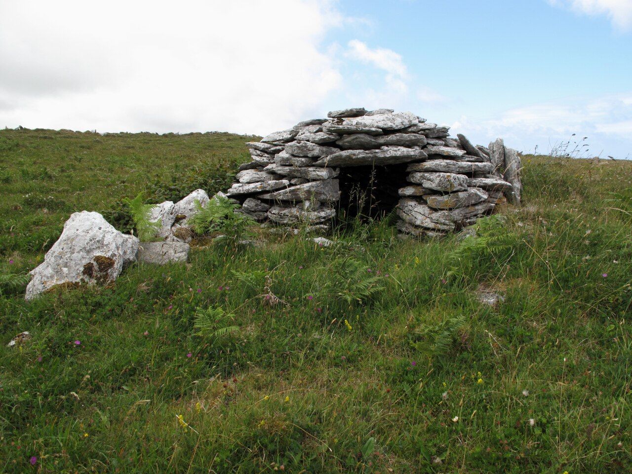
There is a particular pleasure in that overlap. A walking route does not have to be separate from the working past of a place. Here, the old roads remain useful as routes, and their history can be read through the simple facts of where they ran and what they carried. The stone walls mark the track. The wide views put it in the Burren. The walk does not need an elaborate story placed on top of these things.
Above Fanore and Black Head, the green road on the slopes looks over Galway Bay. It is a specific stretch, with a specific view: the road on the slopes, the bay beyond. The larger Burren story comes down to this sort of detail. A route built for movement across upland ground can also become a way to see out from it. The track and its outlook do the work.
The green roads are not polished paths or a separate attraction set apart from the place. They are old unpaved tracks between walls, made for movement, used for cattle, and now followed on foot. Their history is practical; their present use is practical too. The strongest reason to remember them is that they join those two things. They keep the Burren’s older routes in use, with the stone country still in view.
The numbers: many tracks were built in the nineteenth century; some were Famine relief works.